Download for free usage

Figure Ground Diagram & Site Plan

Download 200+ figure ground diagram & site plans from international cities as DWG & PDF

Buy and download the figure ground diagram & site plans of Africa, Asia, Australia, Europe, North America and South America. Every package includes the same type of files – DWG and vectorized PDF. The files packed in ZIP-files for easy unpacking. Above all we are helping architects and designers with easy downloadable maps and plans of the most popular cities in the world. Use it for projects and save time.

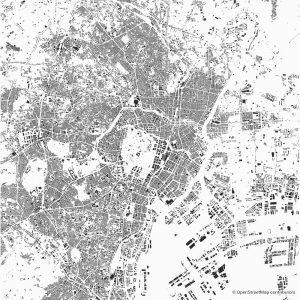
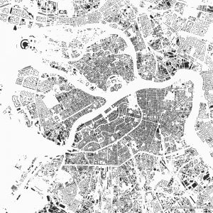
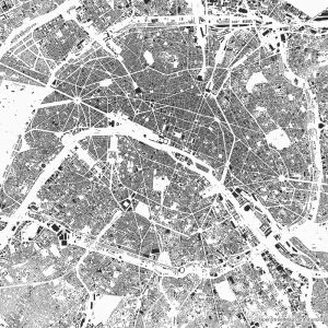
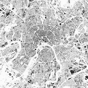
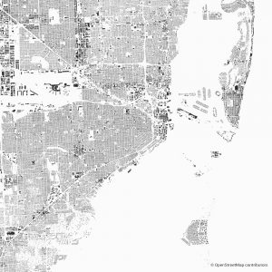
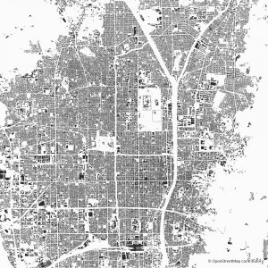
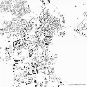
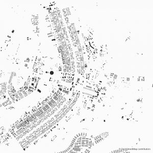
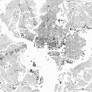
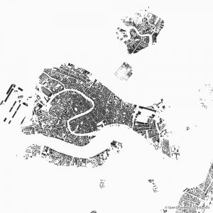
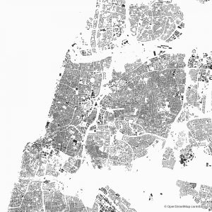
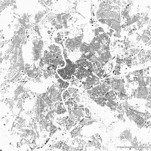
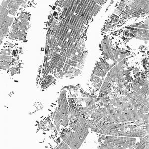
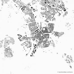
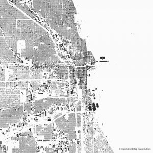
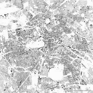
Every figure ground diagram shows the relationship between built and unbuilt space in a city. Buildings visualized as a solid mass (figure) and the public spaces (streets, parks) shown as void (ground). A figure-ground diagram is a powerful tool for planning and designing urban space. In conclusion the plans are also created for ready-made printing.

After your purchase you will get the download link, which is available at any time after your bought. If you have any questions or if you need a city which is not listed on figuregrounds.com – please contact us.

Download and import every figure ground diagram & site plan into your CAD Software. For example AutoCAD, Allplan, ARCHICAD. Similarly open it for instance in Illustrator, Corel Draw or likewise any other PDF Software. City maps looks also good as home decor. Many of our customers using the city plans as eye catching elements in their homes.


The package includes DWG and scalable PDF. Switch on and off the layers you need. Use the plan for architecture, design or print. In addition each package includes layers such as buildings, streets, railroad, landuse and water.

However, use it for commercial or private projects. It is also suitable for printing. The scalable layers and the possibility of switching the layers on and off will help getting the best results. The Map data on figuregrounds.com is fully based on the data by OpenStreetMap®. The following licensing terms apply: Copyright & Licens